Synthesis and understanding of ocean acidification biological effects data by use of attribute-specific, individual-based models
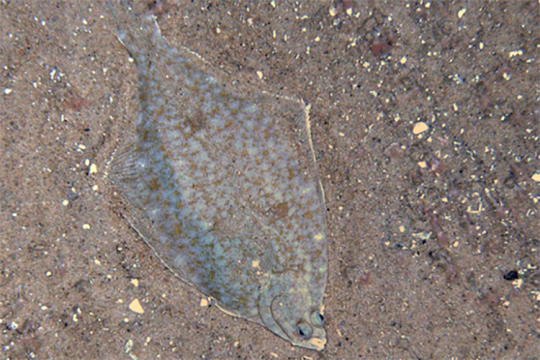
The models help resource managers and others assess and predict the potential impacts of ocean acidification on winter flounder.