Live! Science at Sea: Gulf of Mexico Ocean Acidification Cruise
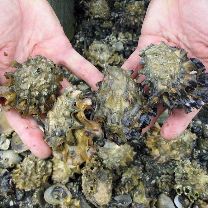
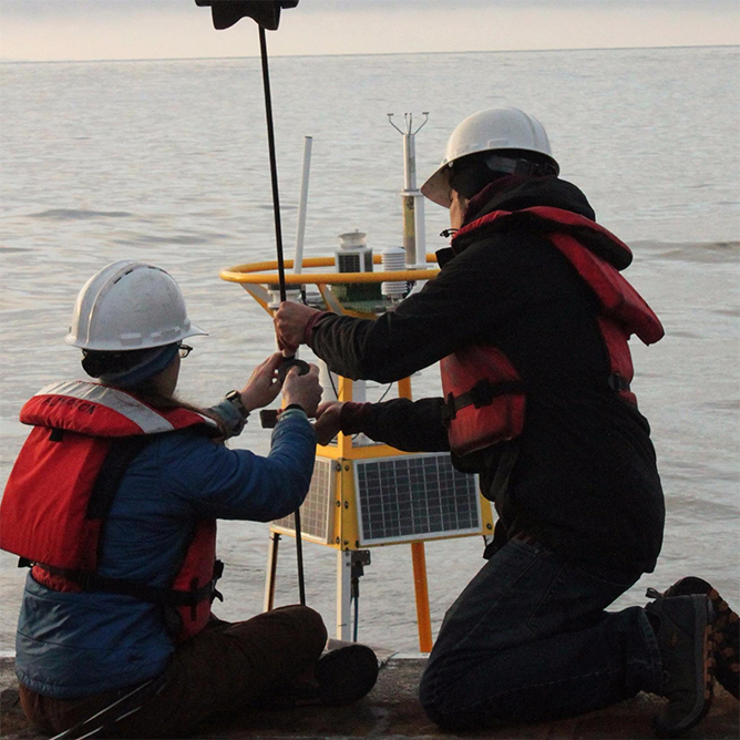
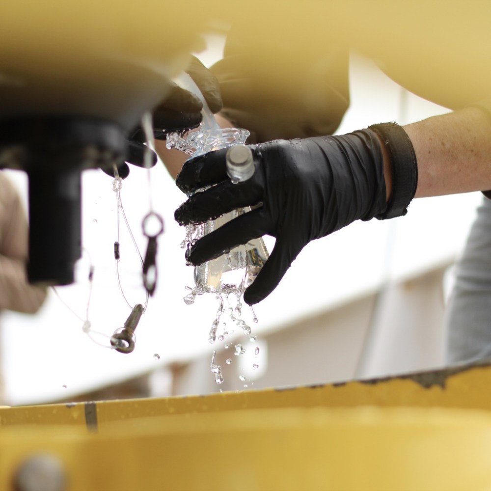
NOAA Atlantic Oceanographic and Meteorological Laboratory On July 18, NOAA AOML and partner scientists will depart on the Gulf of Mexico Ecosystems and Carbon Cycle (GOMECC-3) research cruise in support of NOAA’s Ocean Acidification Monitoring Program.
Live! Science at Sea: Gulf of Mexico Ocean Acidification Cruise Read More »