MIT Sea Grant Announces Three Newly Funded Projects Studying Ocean Acidification
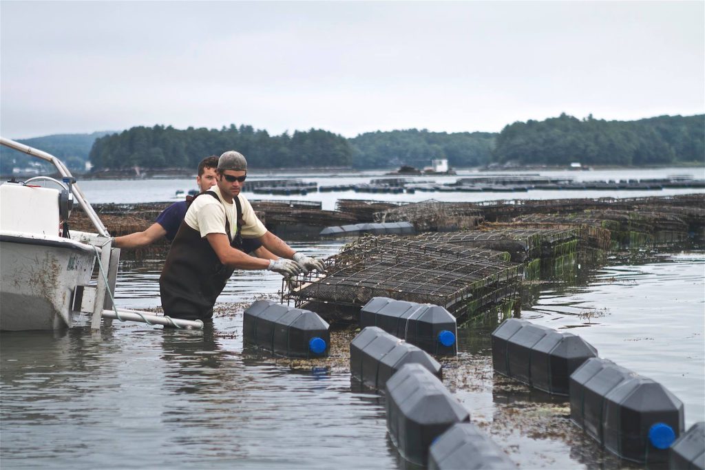
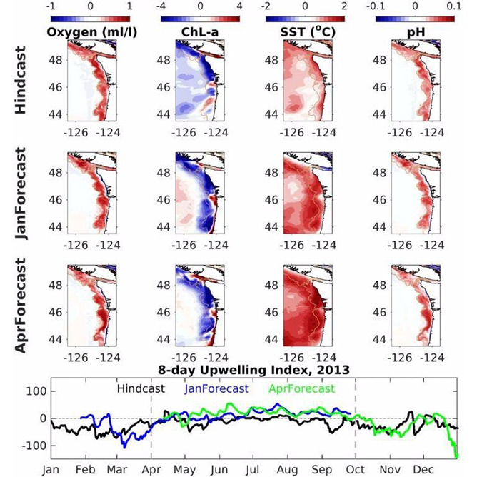
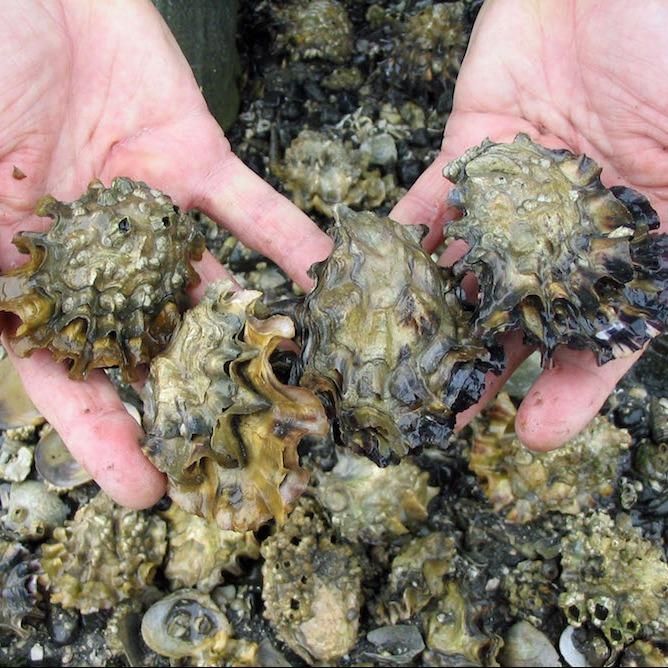
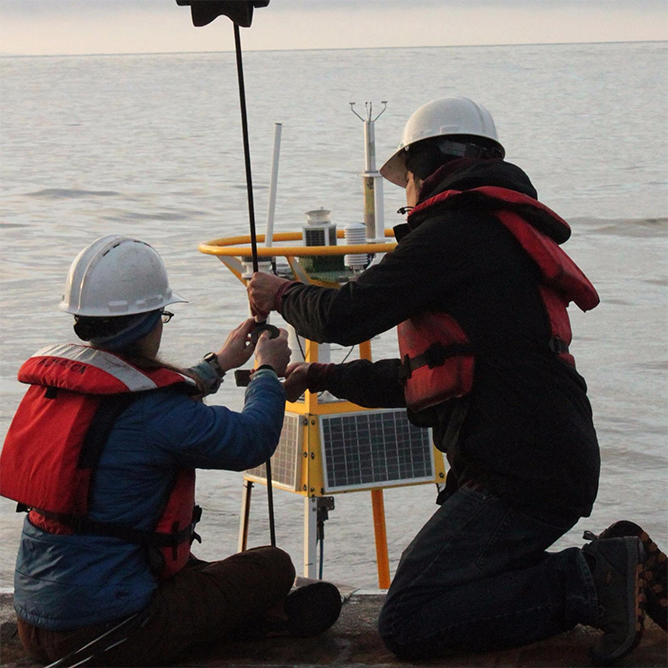
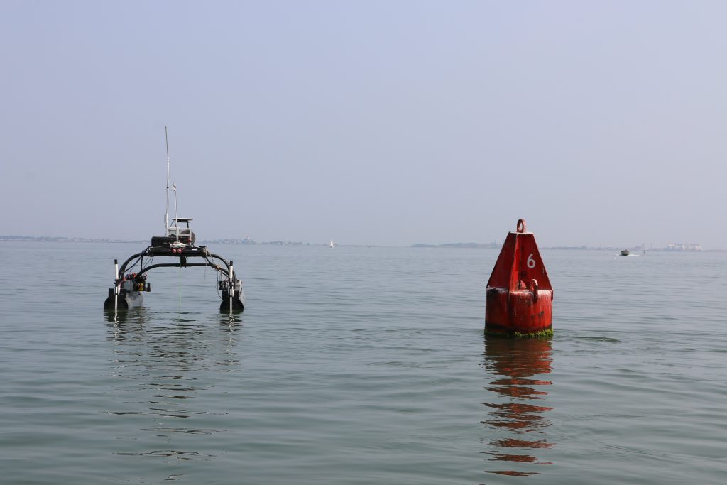
MIT Sea Grant MIT Sea Grant has selected three research projects for funding from our annual request for proposals. The projects focus on developing new ocean acidification sensor technology and using modeling techniques to consolidate historical data to inform future coastal ocean acidification monitoring.
MIT Sea Grant Announces Three Newly Funded Projects Studying Ocean Acidification Read More »