Surveying the state of ocean acidification along the U.S. West Coast
PMEL Sustained Ocean Acidification Biogeochemical and Ecological Survey Observations
Why we care
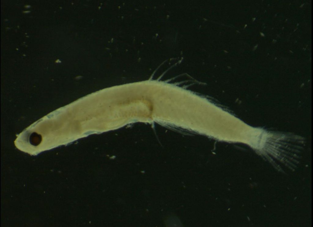
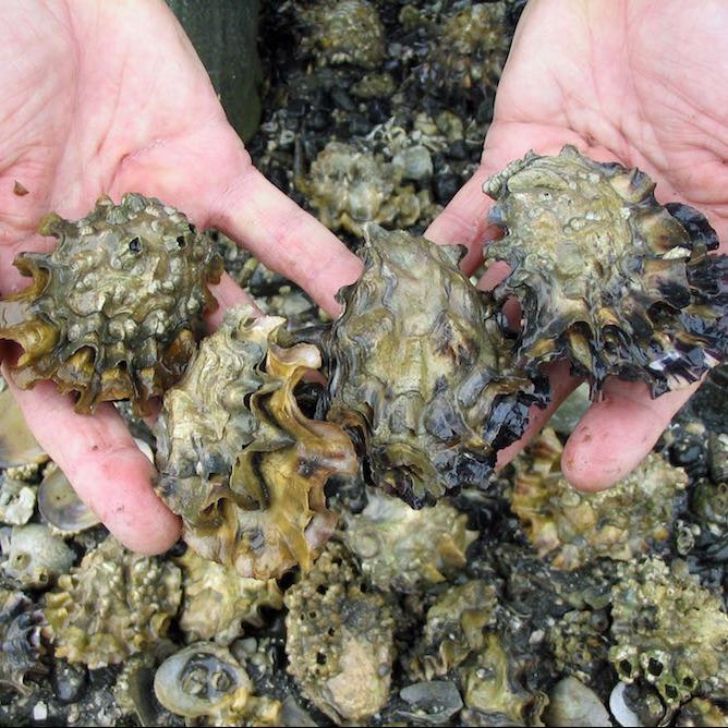
U.S. West coast-wide hydrographic surveys have been conducted intermittently from 2007 to 2017, providing evidence for the geographic extent and severity of ocean acidification in the continental shelf ecosystem. Scientists on the NOAA West Coast Ocean Acidification (WCOA) discovered that the combined effects of anthropogenic and biologically-derived carbon dioxide resulted in significant biological impacts for oyster larvae and pteropods, which are small, ecologically important mollusks for the food web.
What we are doing
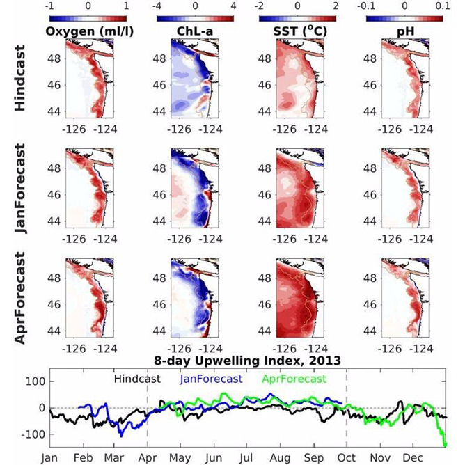
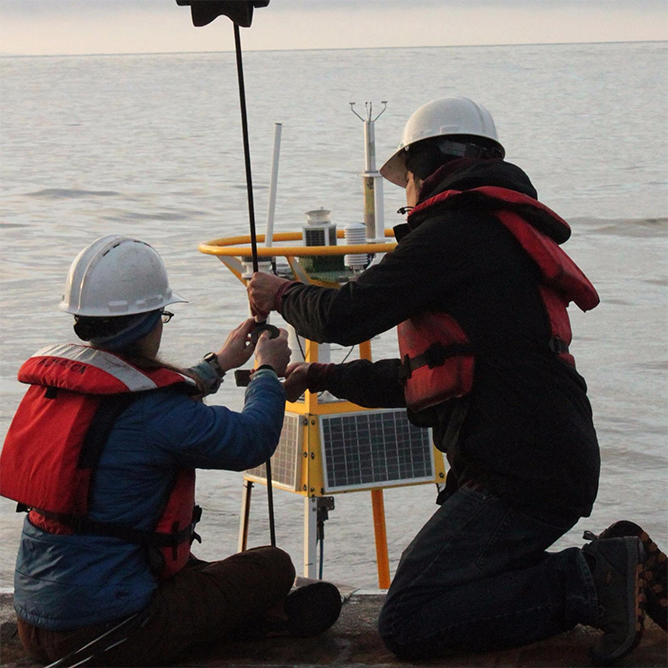
This project executes a large-scale survey of ocean acidification carbonate chemistry in the California Current System and continues processing data and publishing scientific papers based on 2016 and 2017 surveys findings. This survey determines the spatial distributions of temperature, salinity, pH, dissolved inorganic carbon, total alkalinity, oxygen, nutrients, and biological parameters along the west coast of North America. Survey results will provide the basis for accurate assessments of changing ocean chemistry in the following areas: 1) spatial variability; 2) extent and causes of long-term changes in carbonate system parameters and their impacts on calcifying (shell-building) organisms; and 3) empirical relationships for obtaining high-resolution information on ocean acidification collected on moorings.
Benefits of our work
This project links the combined stressors of increased temperature, acidification, and hypoxia (low oxygen) with effects on marine organisms in the region and identifies spatial variability of acidifying conditions during the spring/summer upwelling season. In addition to scientific partners, this project engages a NOAA Teacher At Sea (TAS) fellow on the cruise to help develop outreach and education on West Coast ocean acidification.
Surveying the state of ocean acidification along the U.S. West Coast Read More »